
A report published by the US Geological Survey (USGS) this past May says that March 2012 marked the earliest Spring in the 48 contiguous U.S. states since 1900 when systematic weather data began being accumulated for the entire area. How do we know? Phenology!
While we don’t have actual dates for when spring began back in 1900, phenology, the study of recurring plant and animal life cycles, helps us understand the temperatures and climate conditions plants need to begin growing each Spring. In fact, the USA Phenology Network has a set of “spring indices” based on information about the accumulated warmth required for native and cultivated plants to leave dormancy and begin to grow. Using this information they’ve developed a set of algorithms (think fancy math like Google uses to figure out what you’re looking for) that can use the data from any weather station to tell us when Spring, or plant growth begins.
Using this information, the USGS has learned that the 2012 growing season was earlier by as much as 20-30 days in the East and Midwest from the 1900-2012 mean. Unfortunately, the early spring combined with late April frost that damaged fruit trees in some areas.
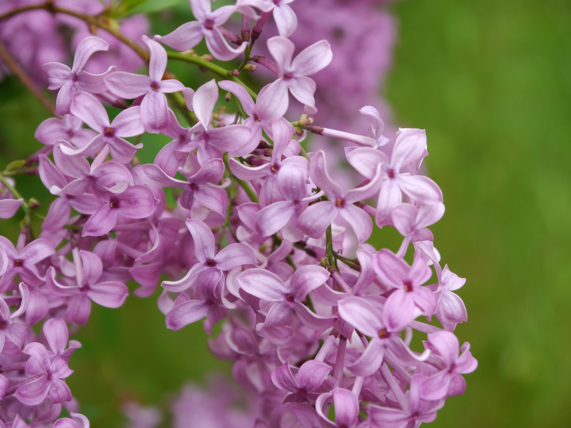
The Lilac Network
In the 1950s, Bozeman Professor Joseph Caprio began gathering data on the bloom times of lilacs to map the spread of spring across the state of Montana. By the 1980s the “Lilac Network” had spread nationwide. It later morphed into the USA Phenology Network, monitoring a wide variety of species to help us see when spring is on the way and how things change over time.
In fact, based in part on decades of lilac data, we now know that spring is coming 6.8 days earlier than it did in the midwest in the 1950s when Caprio began his obseravations.
Today the response of vegetation to temperature and precipitation can be readily observed across wide areas by Earth-observing satellites at intervals of only a few days. USGS scientist Julio Betancourt, a co-author of the study, noted, “Indicators such as spring indices and satellite-based evaluations of vegetation growth will become essential tools for assessing climate variability and change and their impacts.”
While knowing this information now may not help you plan your next grazing season, USGS scientists are working on ways to use technology to benefit farmers and ranchers. Using Earth-observing satellites they can now see changes in temperature and vegetations at intervals of only a few days. USGS scientist Julio Betancourt noted, “Indicators such as spring indices and satellite-based evaluations of vegetation growth will become essential tools for assessing climate variability and change and their impacts.”


The Lilac Network was interesting! I had never heard of it. Volunteers around the country can be a great benefit to scientists collecting basic data.
Comments are closed.